Tag: Skeleton Coast

  • Skeleton Coast 2025 #5: Up towards Angra Fria

    Skeleton Coast 2025 #5: Up towards Angra Fria

    Today we don’t have a lot of ground to cover, and we can take things a bit slower. Perhaps that is also the reason that a couple of my favourite photos are from today.

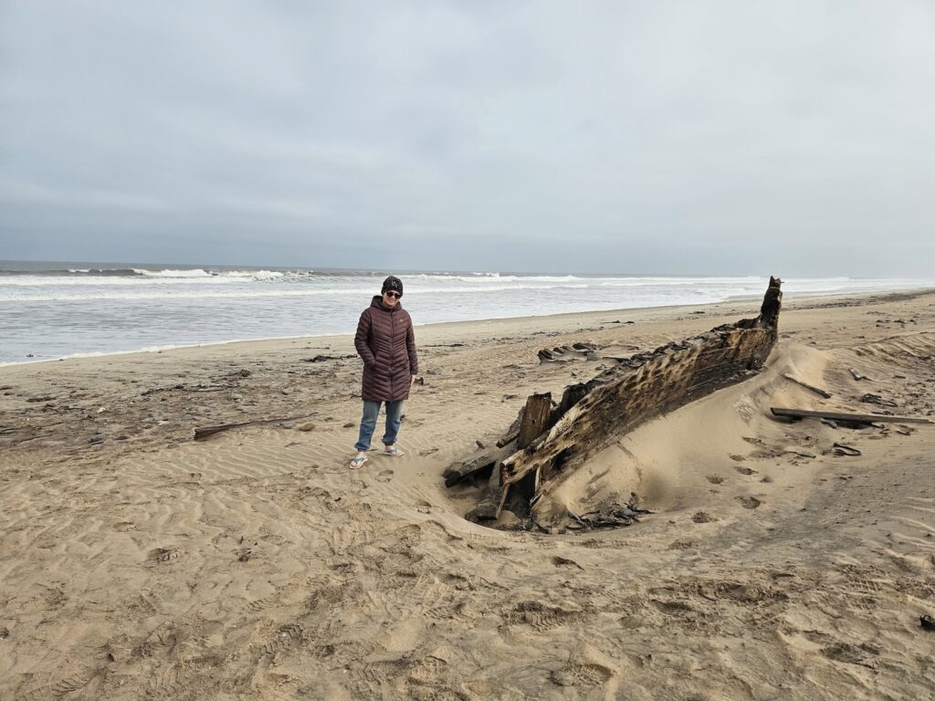
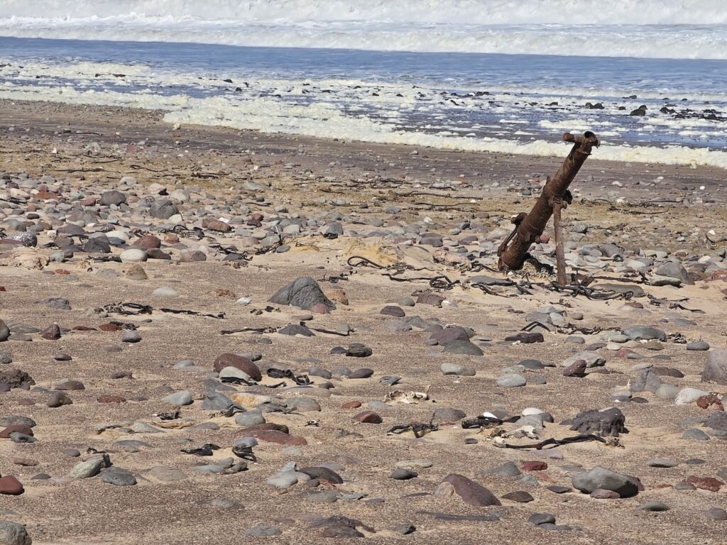
    We keep travelling northward to the Kunene mouth. Our first stop is at the humble remains of an boat. I wish I could tell you a bit more about it, but I simply cannot recall the story. Was there even a story? Yes, there definitely was. At every single spot that we stopped, our guide had a story.

    While I can not recall the story of the boat right now, Luciano shared a story on the side with me that he heard from an old guide. In the old days, he says, when ships were made of wood, very large iron nails were used in ship building. Iron was a commodity and frequently traded in stead of coins.

    Sailors, when going ashore, would often remove a nail from the ship to render payment for … ermmm … services that they received from ladies. In Afrikaans they called this ” ‘n Spyker vir ‘n spyker” which roughly translates to “a nail to get nailed”. I found this both funny and fascinating, but have no idea whether it is true or just a bit of folklore.

    No wonder the ships didn’t last!
    The next wreckage is that of a Lockheed Ventura. To understand where the wreckage of the Ventura came from, we need to talk a bit about the Dunedin Star. The Dunedin Star was a ship designed to ship frozen meat from Australia to Britain, but during the second world war, it was used operationally in the war.

    The Dunedin Star stranded near shore on 29 November 1942. She carried 106 passengers, 42 were taken to shore and the rest were rescued by a Norwegian cargo ship. Now I am wondering whether the wreck above is not part of the boat that carried people to shore? If you know, drop me a comment below, please (otherwise I’ll ask the guide on my next trip!)

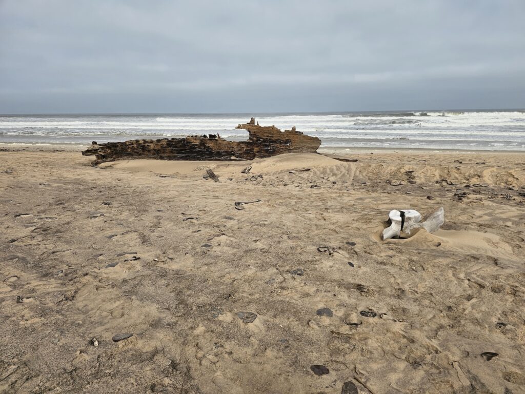
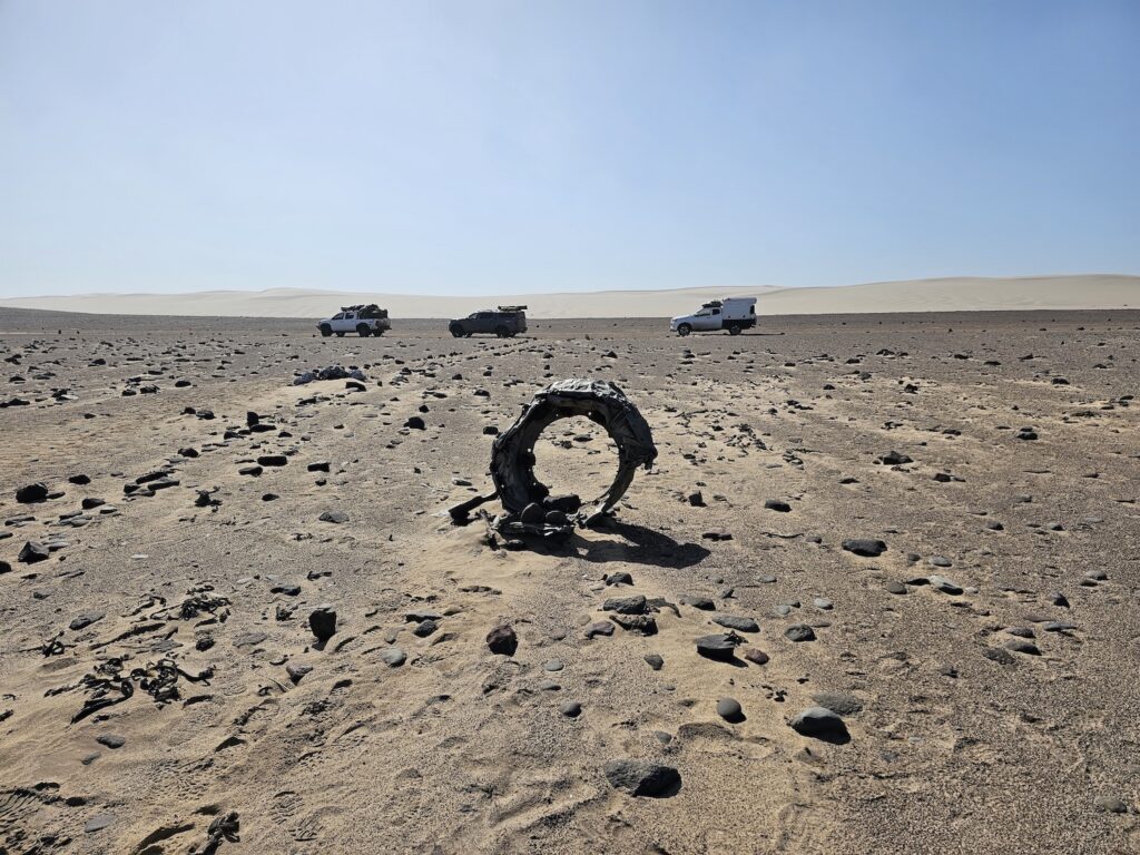
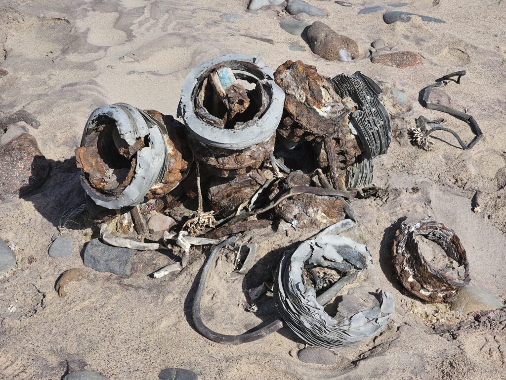
    The Lockheed Ventura was dispatched from the Cape of Good Hope with supplies and water for the survivors. It carried out its’ task, but got stuck in the sand trying to take off again, and some remains are still seen today.

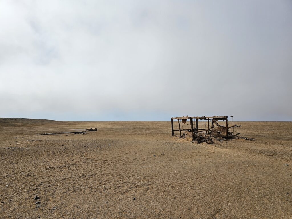
    Then a second bomber was sent. This time they just dropped the supplies, but then it crashed into the ocean! The three survivors swam ashore and had a good old walk in the desert. The whole story can be read at wikipedia if your interest is piqued. Also, more pics in the gallery.

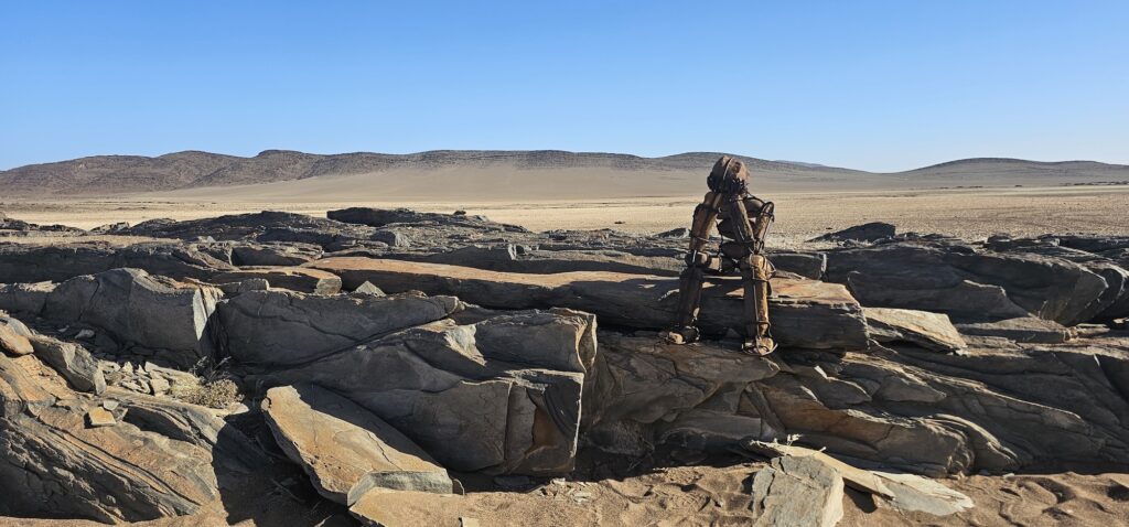
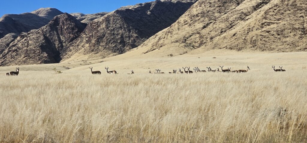
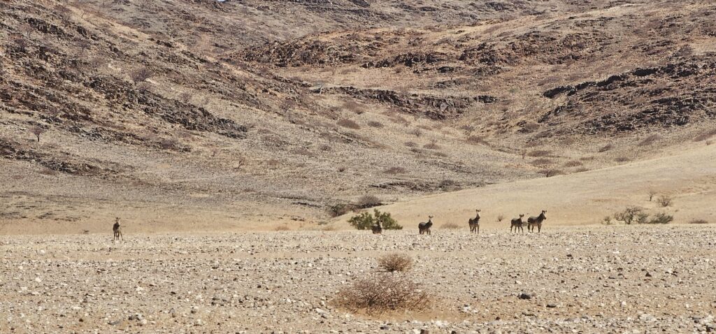
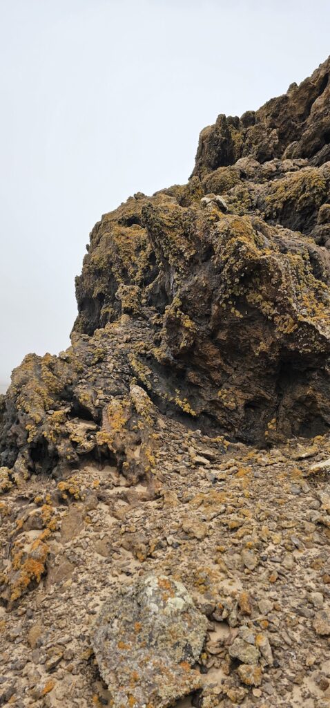
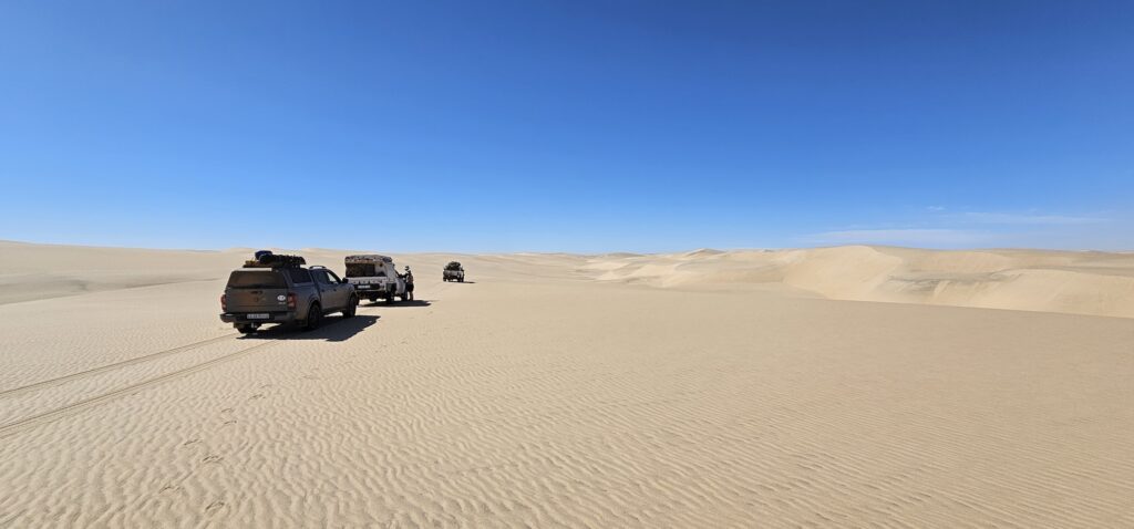
    Now, we turned a little inland. One of the most interesting things about this landscape is the multiple personalities that it can assume. You could be driving on the beach between a dune and the deep blue sea, but turn inland and twenty minutes later you are in an arid area where nothing seems to grow. Another twenty minutes and you are between rocky outcrops where lichens seem to be the only living thing around.

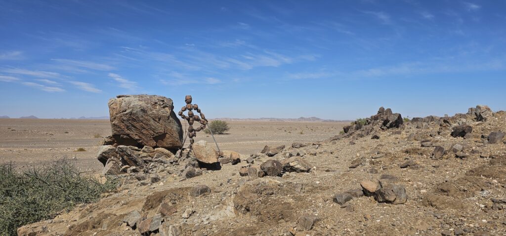
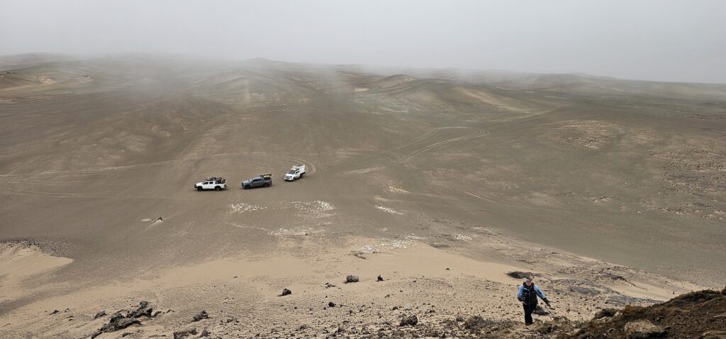
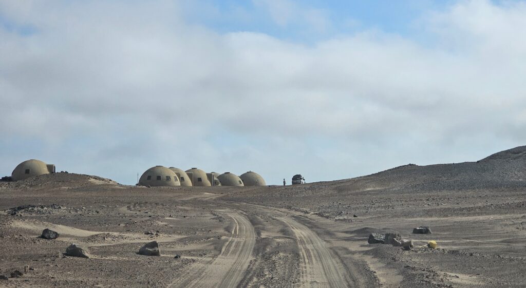
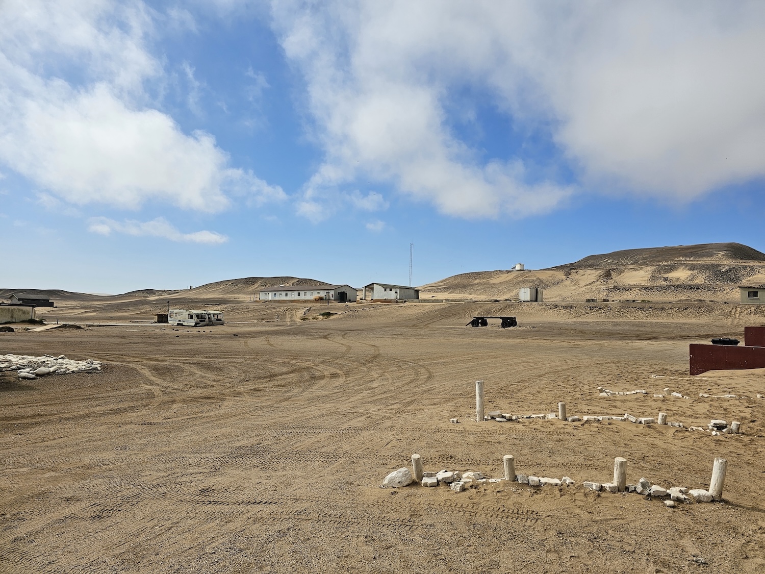
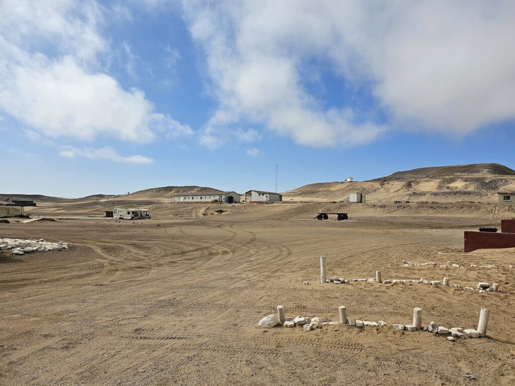
    Before we went on the trip, someone told me parts of the landscape can be compared to the moon. So imagine our surprise as we plodded along, suddenly to be faced with the picture below. It felt like I was on Tattooine in Star Wars, or as if I had stumbled onto a Mars colony.

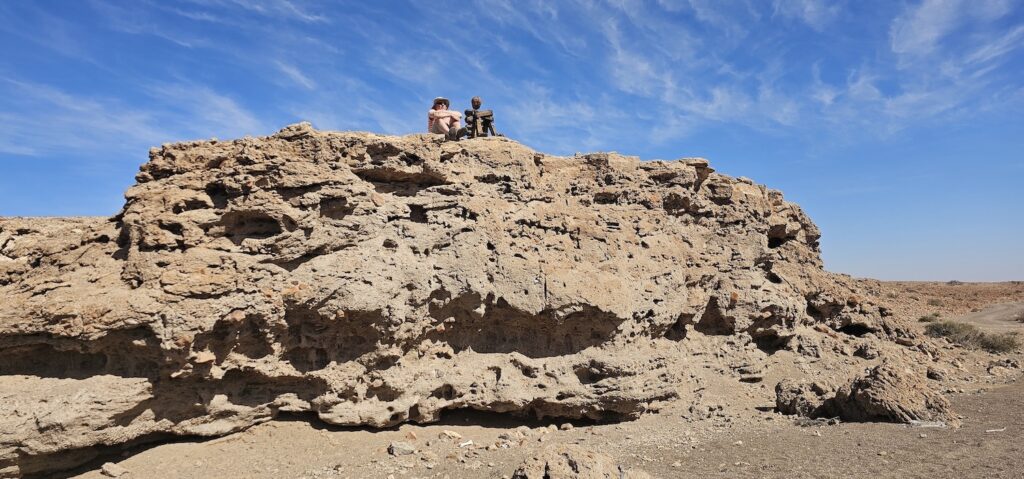
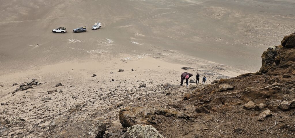
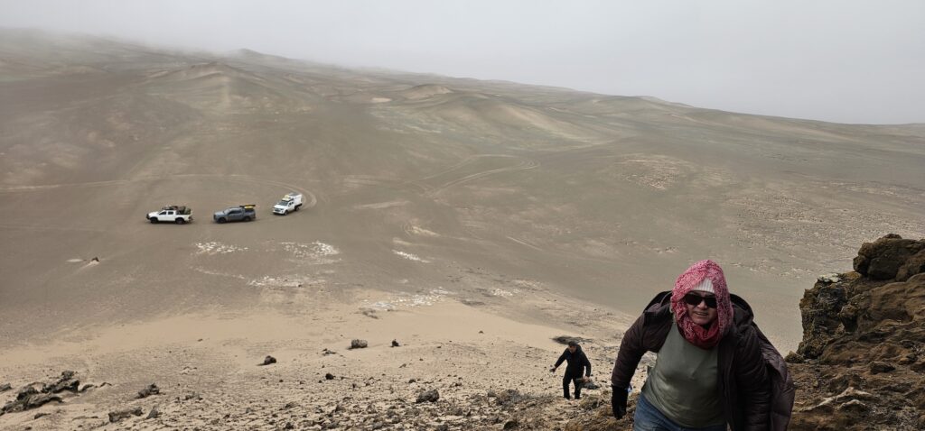
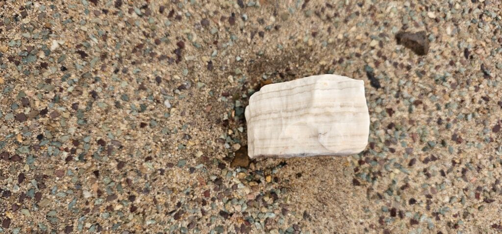
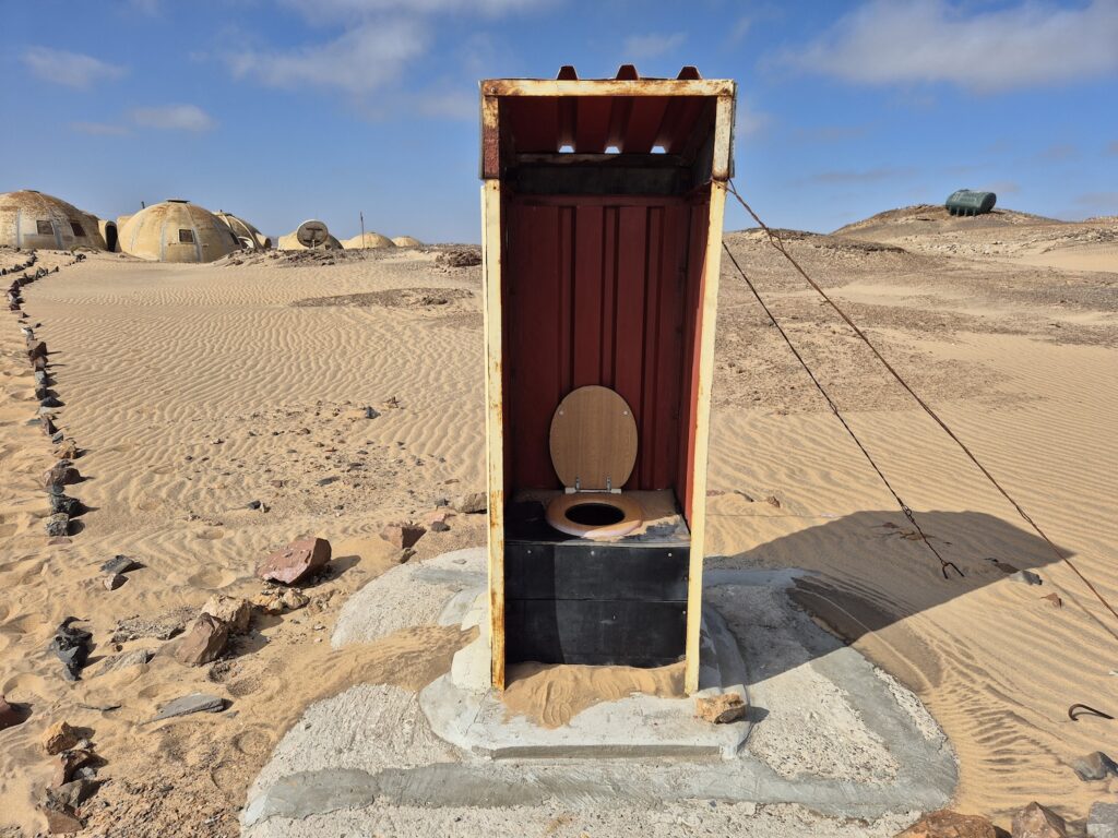
    The picture is actually of an abandoned mine called the Sarusa mine, where semi-precious stones were mined (more pics in gallery). The owner also owns Kristall Galerie in Swakopmund. Sadly, the mine is no longer in use.

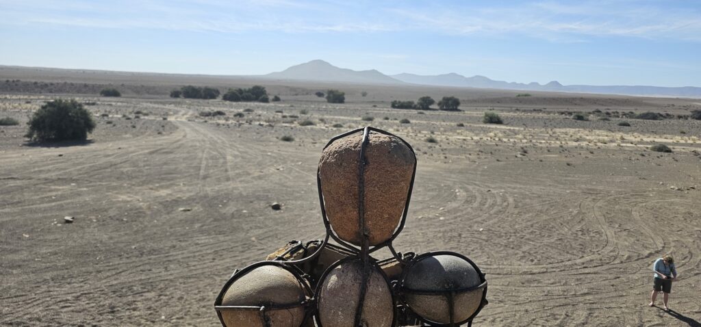
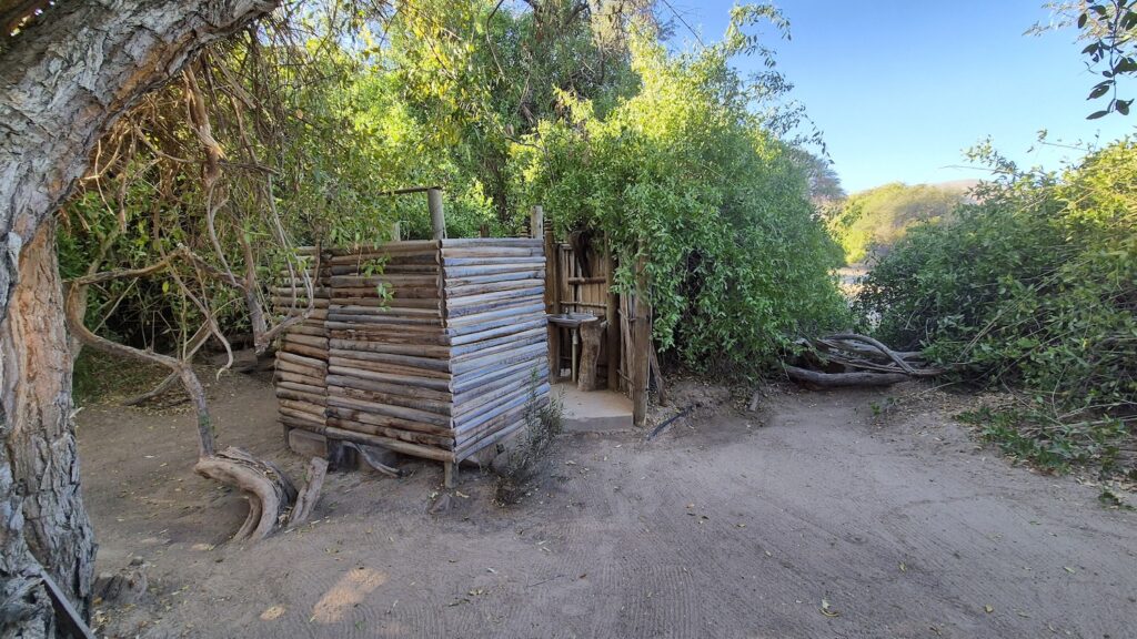
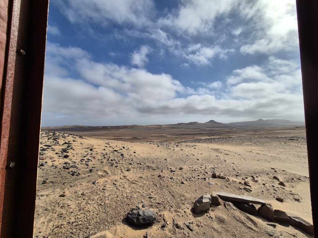
    It now holds this blogs’ trophy for the most scenic toilet! I have a feeling it will have it for some time – the pics below can’t do the view justice.

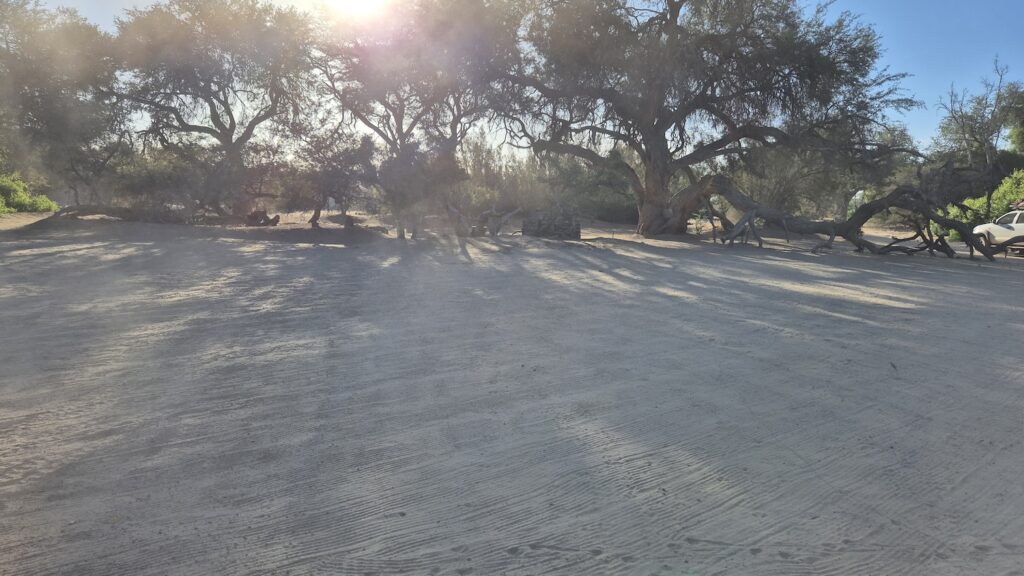
    Next up, we needed a place to sleep. The mine looked cozy but no doubt there are ghosts looking for treasure at night, so we pushed closer to ocean again. Not too close, because the nights are still windy and a bit misty.

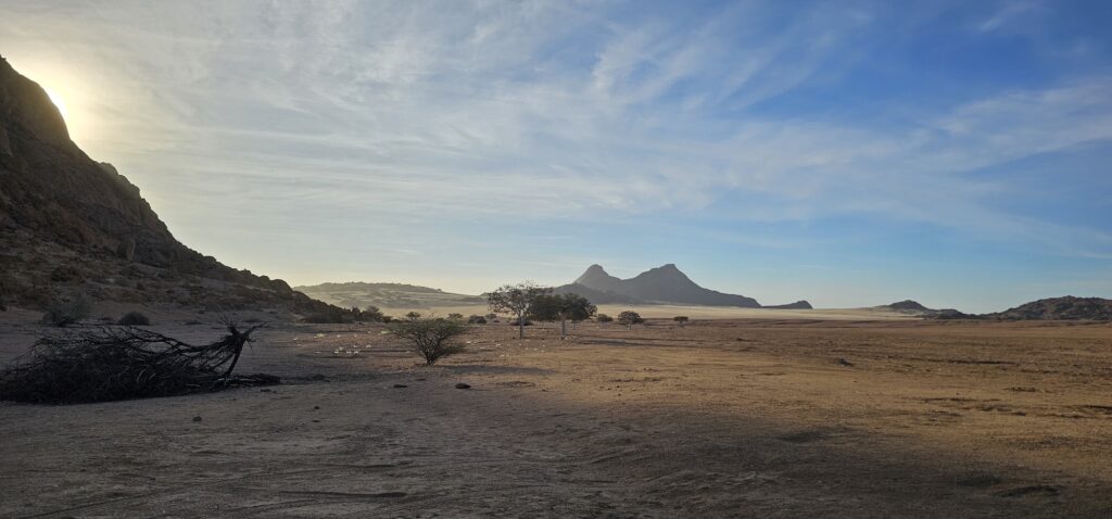
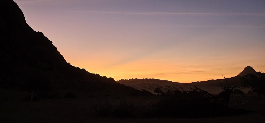
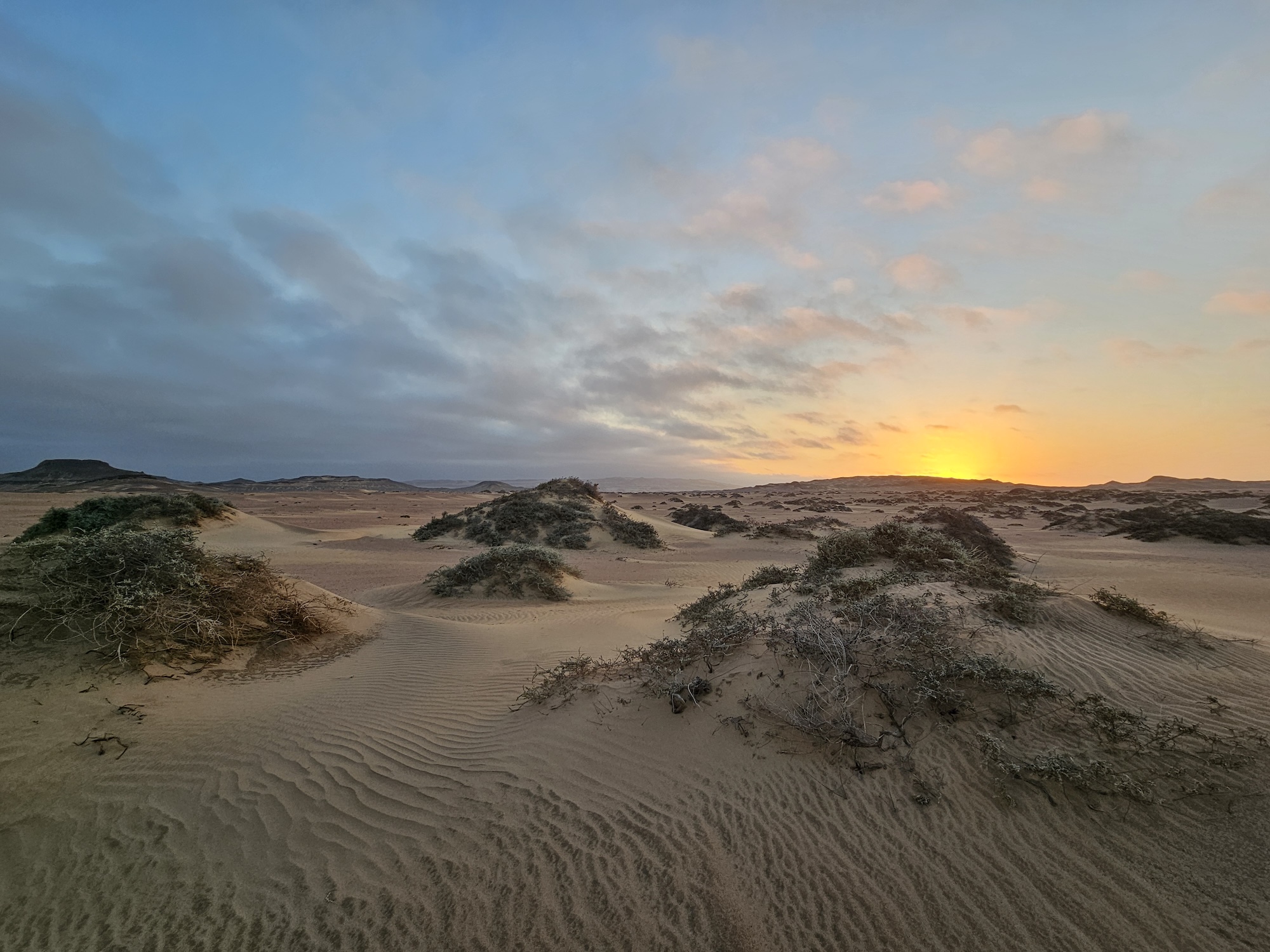
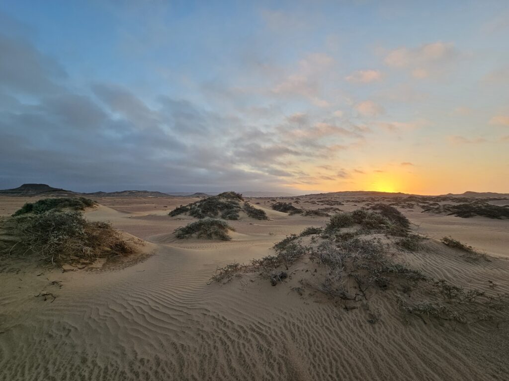
    The chosen spot was well sheltered and looked ordinary enough, but a short walk provided one of the most beautiful sunsets that I would probably ever see.

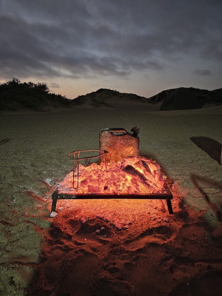
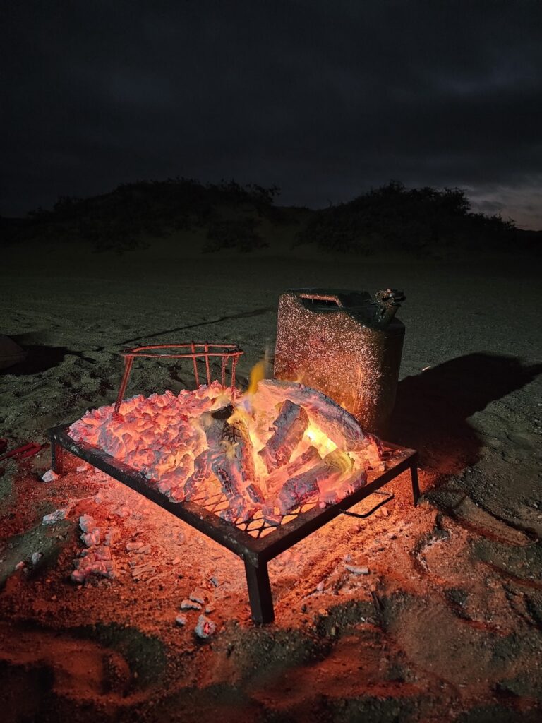
    This evening also provided the setting for my favourite photo of the trip (at least, I think so). No, not the one above, the one below.

    But first, I have to explain how the shower on this trip works. No guys, showers are not compulsory, but it is very nice (or so I’m told).

    It works like this: a shower cubicle is erected for privacy. Inside the cubicle, there is a table and on the table is a basin with hot water, a submersible pump in the water, and a shower spout at the end. So, switch on the pump, and wet your body. Switch off the pump, soap to your hearts’ content, switch on the pump and rinse off the soap. There is not a lot of water to work with, so be quick about it. Or, (in my case) just don’t shower until you get to something proper.

    The way the water for the shower is heated, is quite simply by putting a steel jerry can next to the fire. This image, of the jerry can with ash all over it, spoke to me that night, and it still does.

    It takes me back to the place where I took the photo (I guess that is the general idea of photos, right?) – so that is also a good point to end this post at.

    See you at the next one!

    Skeleton Coast 2025 #1: Introduction

    Skeleton Coast 2025 #2: Getting there

    Skeleton Coast 2025 #3: Swakopmund – old German charm

    Skeleton Coast 2025 #4: Through the mist to somewhere north of Terrace Bay

    Skeleton Coast 2025 #5: Up towards Angra Fria

    Skeleton Coast 2025 #6: Across the dune belt and into Hartmansvallei

    Skeleton Coast 2025 #7: Down to Purros and Sesfontein

  • Skeleton Coast 2025 #4: Through the mist to somewhere north of Terrace Bay

    Skeleton Coast 2025 #4: Through the mist to somewhere north of Terrace Bay

    This entry is part 4 of 4 in the series Skeleton Coast 2025

    Today we hit the road for most of the day. It starts at dawn and we meet the team at the Engen fuel station on the Henties Bay road. Clearly this is a popular stop for all traffic going north. Besides having really helpful staff, they are well-versed at filling jerry cans, they sell big bags of wood that is perfect for the trip and the shop is well-stocked with items. They don’t only sell the usual cold drinks, sweets and chips, but also sandwiches, salads, cold meats, wraps and other items that are perfect for lunches.

    Here we met the guides for the first time – Luciano and Marius (his Ovambo name is Daleni – he is fine with either). They fitted the two-way radios, explained how we will travel and answered our general questions. In bigger expeditions, there will be two guide cars, one bringing up the front and one the rear, but in our case we were only two cars (three with the guides) and so we followed the guide car.

    The morning was extremely misty – we could hardly see the car in front of us but this is where the radios come in handy. Here and there the mist lifted, but just as soon it would envelop everything again. Our first stop was the town of Hentiesbay, which is well known amongst South African shore anglers for fishing. We had a quick stop at the Henties filling station and I filled up again despite the short distance travelled (around 70kms). When in doubt, fill up!

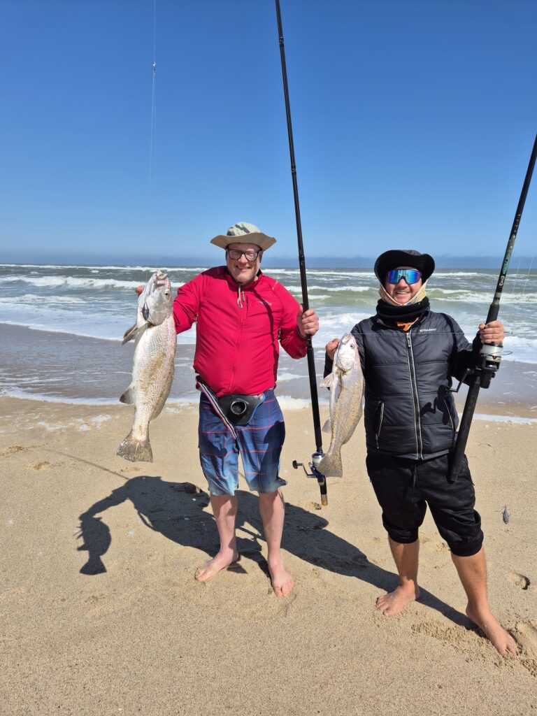
    Leaving Henties there are several fishing spots along the way, and they have colourful names such as “Horing Bay, Rondeklip, Buurman se Gat, Popeye” and so on.

    More information on Henties fishing is available on this document.

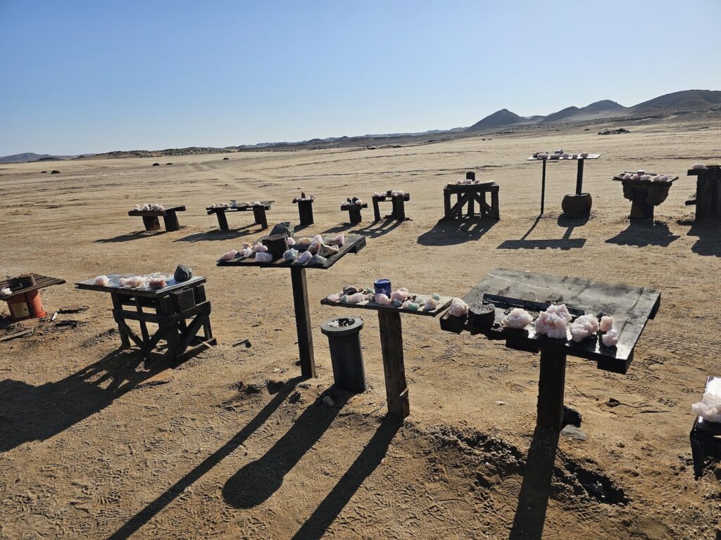
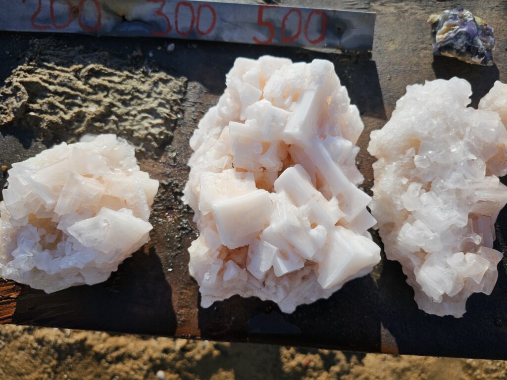
    Exactly one marathon out of Henties Bay (42,2km), just past some salt works, there is a place next to the road where locals put some beautiful salt crystals on display. You are welcome to take some, and leave a tip in the honesty box.

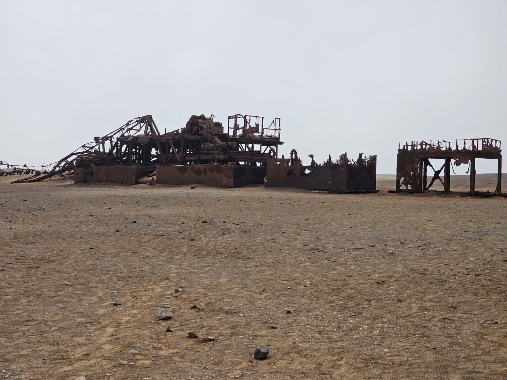
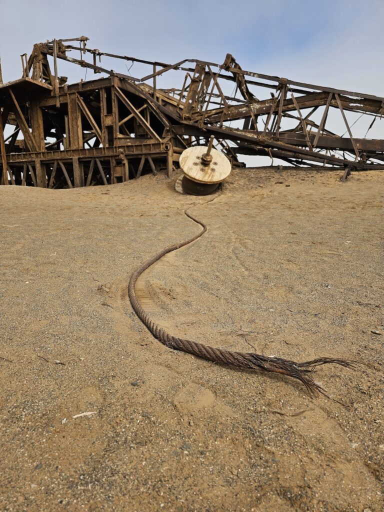
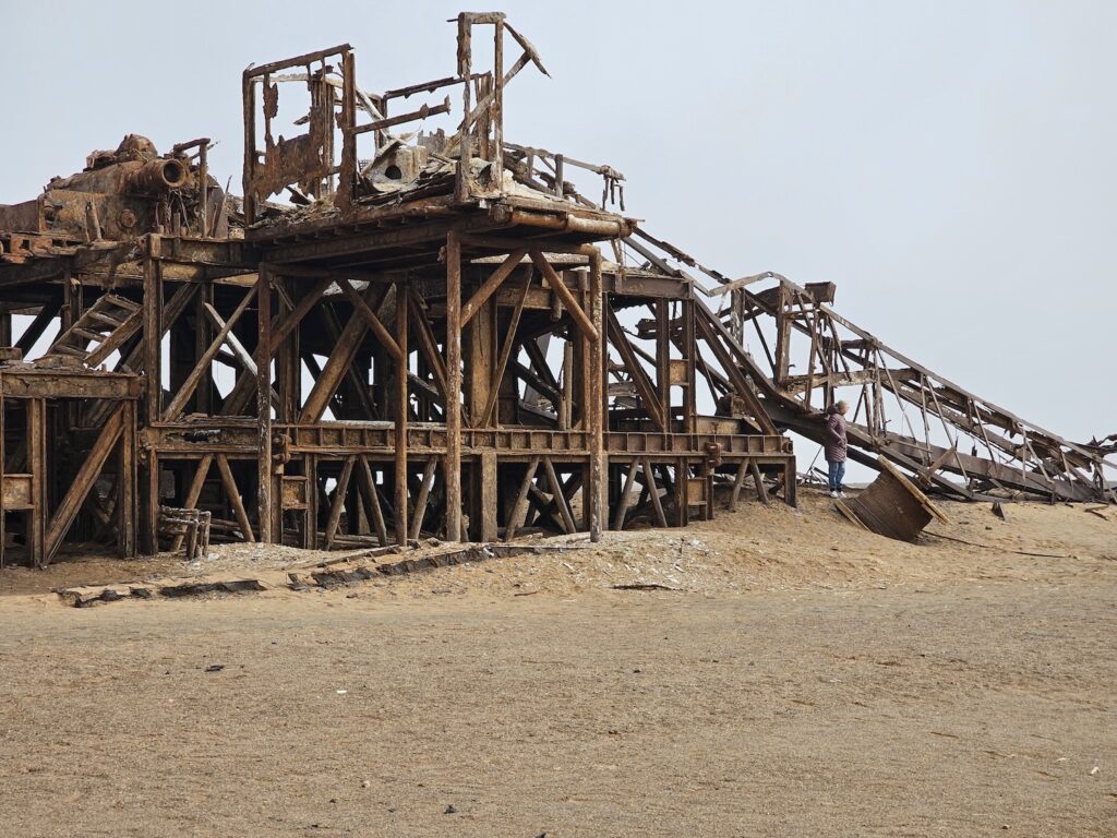
    A little further, we get to the skeleton of an old oil rig. It is a beautiful setting for photography. Large, rusted metal structures seem to be buried slowly under sand. The competition to the slow burial is rust, wind and erosion.

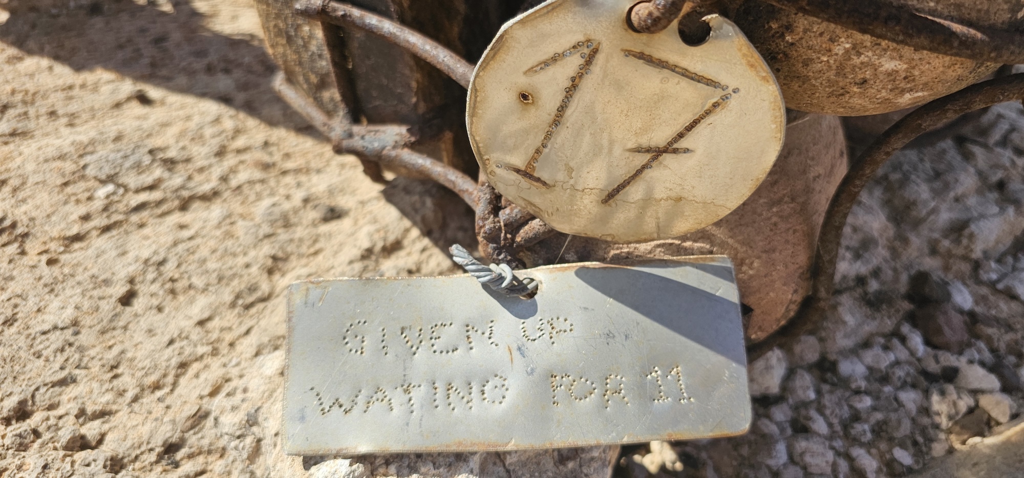
    Only time will tell who wins the race. But for now, the rig is not ready to give up – it has been there since the late sixties, and still endures. Apparently the bank recalled their loan in 1972, and the rig was left abandoned. The pics below are clickable, and please have a look in the gallery for more.

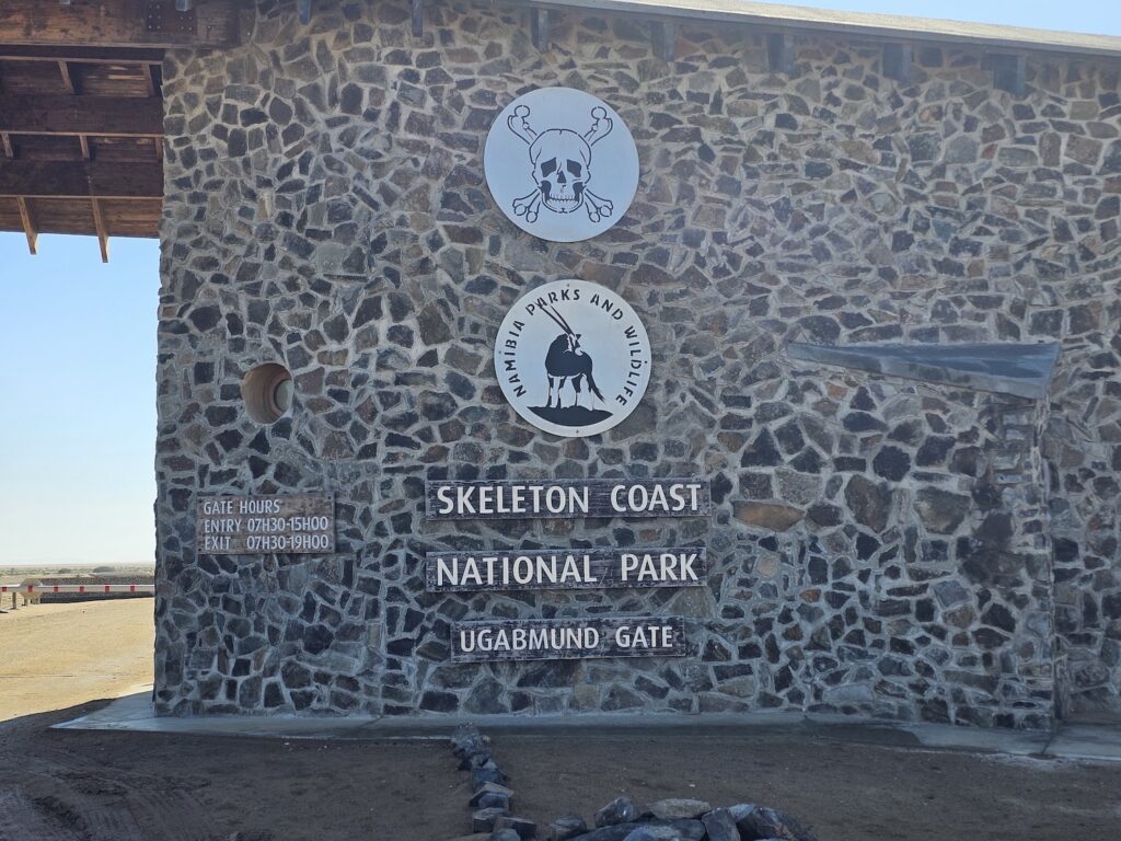
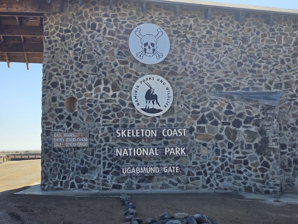
    Leaving the rig, we kept travelling north to the main entrance of the Skeleton Coast National Park. Here the guide will pay the fees applicable to your trip, but the driver of each vehicle is also required to complete a register.

    They had some T-shirts for sale as well as stickers. The prices were reasonable considering the location. There is a small display area with samples of minerals, stones, photos of wildlife and so on.

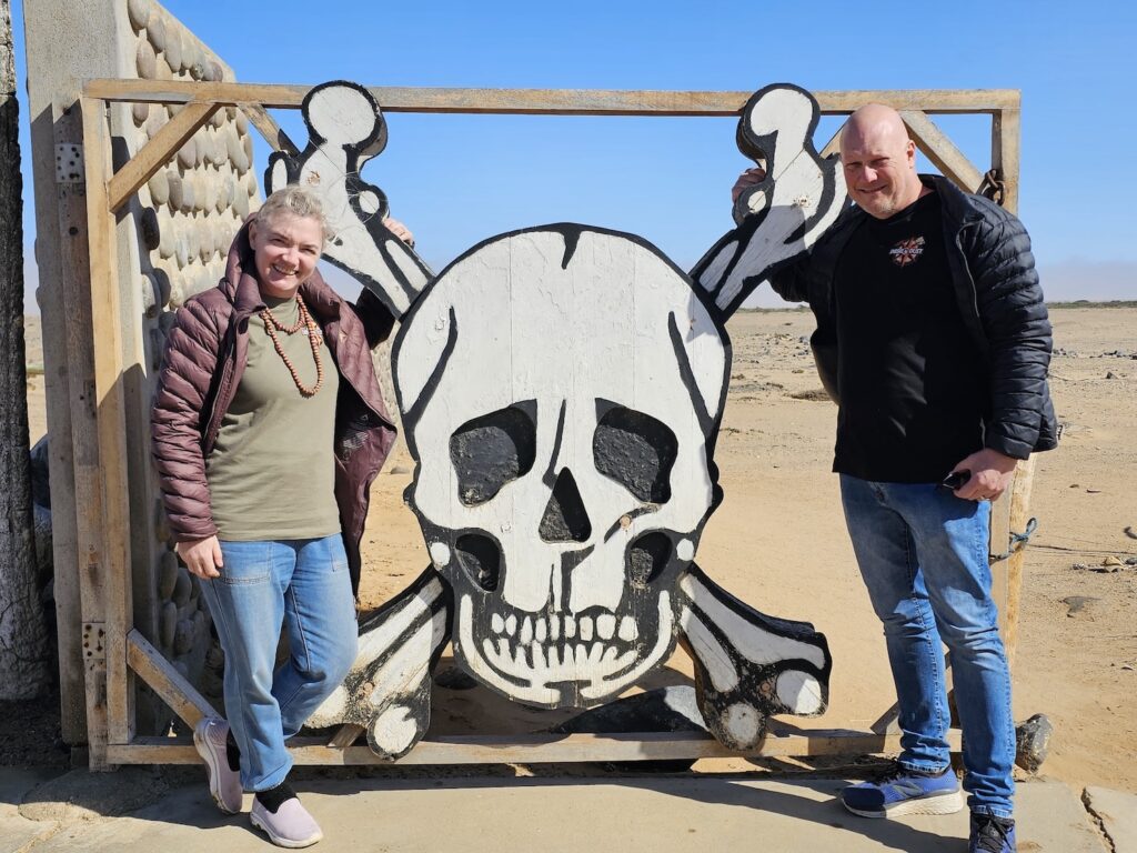
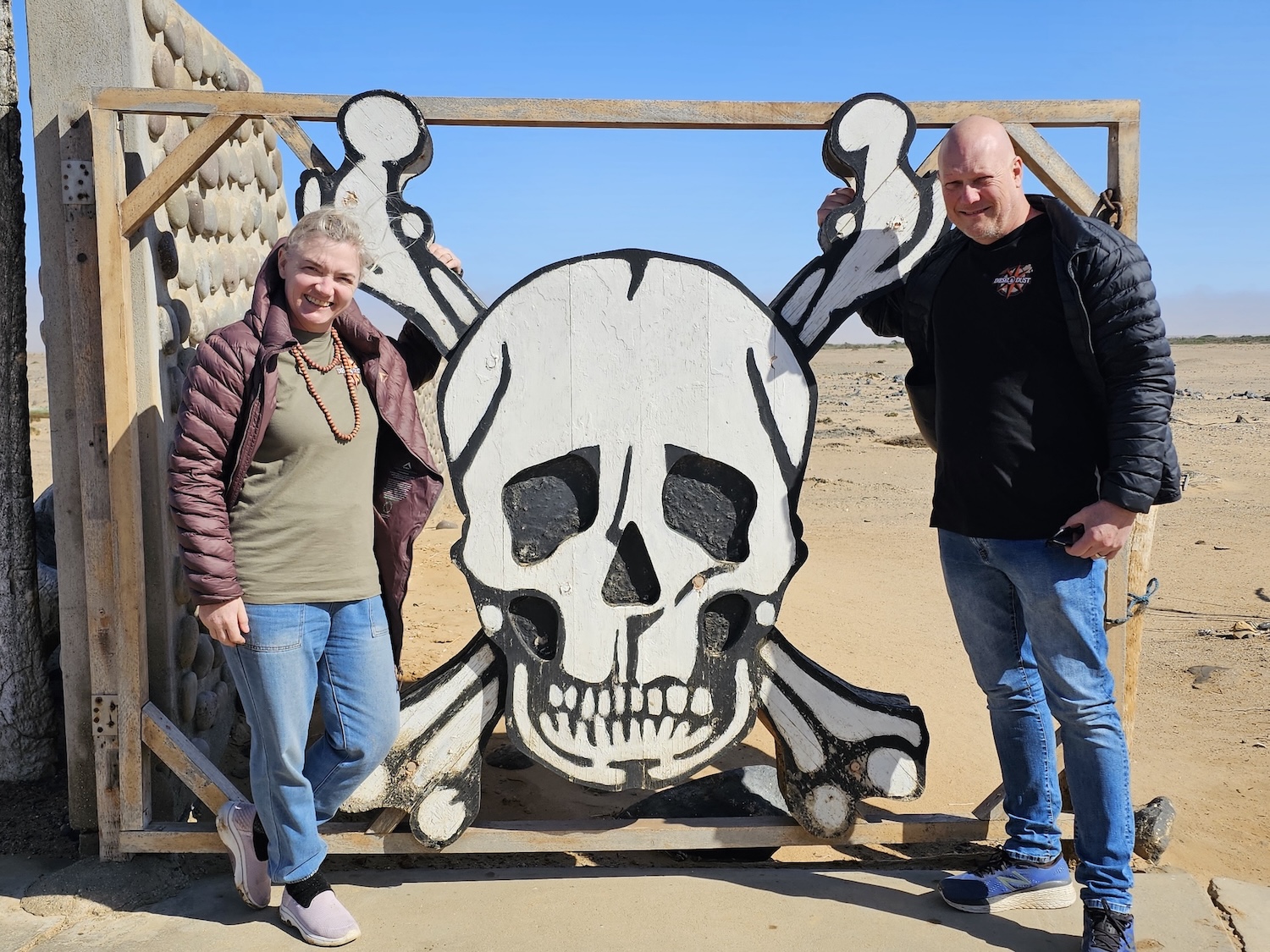
    Before proceeding, be sure to take a photo at the iconic gate!

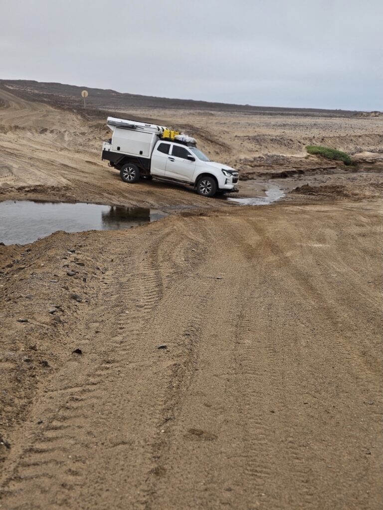
    From this point we proceeded to Terrace Bay. The road to get there is fine, with a few moderately difficult sections, and a very small river crossing (I guess it could get fuller during the rainy seasons, but it was negligible in our case).

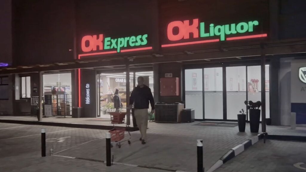
    We were told that we could potentially fill up with fuel at Terrace Bay (the briefing document describes it as the last fuel stop) – but there was no fuel to be seen. There is a small shop and a small liquor shop.

    Apparently Terrace Bay was a favourite fishing spot of Sam Nujoma, Namibia’s first president. He had a very strong connection to the place and loved spending time there.

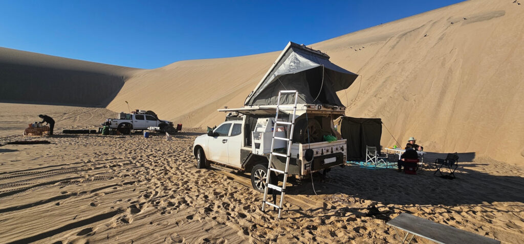
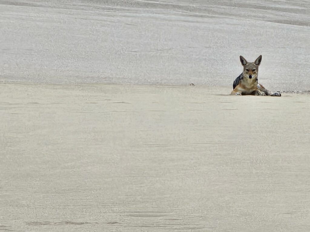
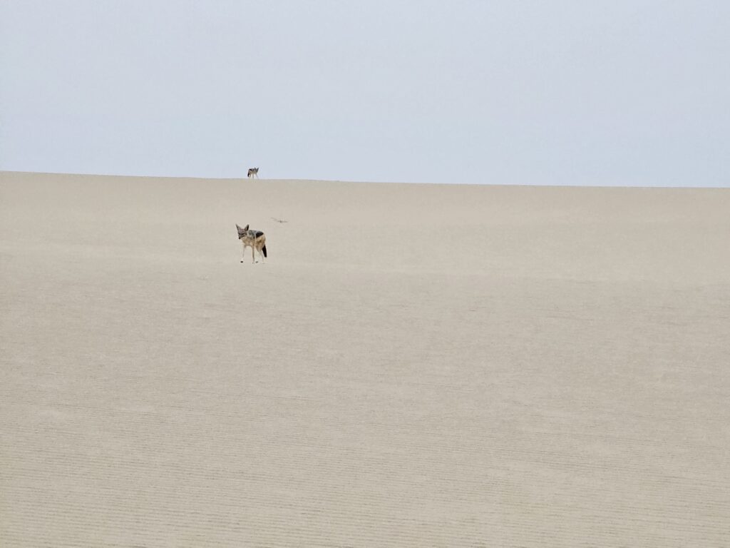
    The end of day was drawing near, and we had to start finding a spot to camp for the evening. This was just a little further north, and perhaps 400m inland from the ocean. Here was a chance to relax, take in the beauty of our surroundings and to realise that this is something special: there are no people, no lights, nothing around but ourselves, the sand and a few nosy jackals.

    Luciano and Marius were quick to inspect the jackals from a distance – it is not impossible for them to be rabid, but apparently their behaviour would be so erratic that it is easy to spot. I could photograph the jackals for hours on end, more photos in the gallery.

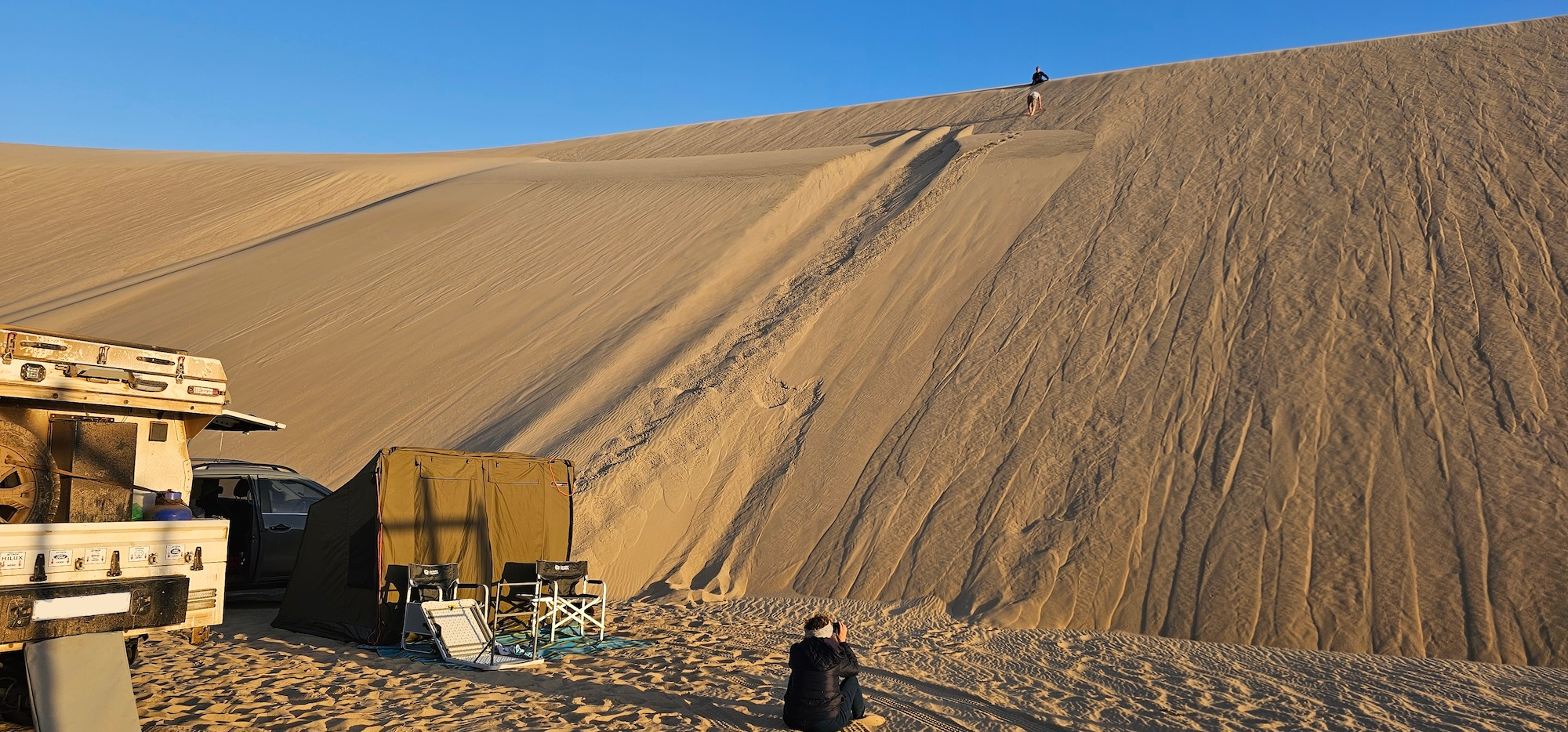
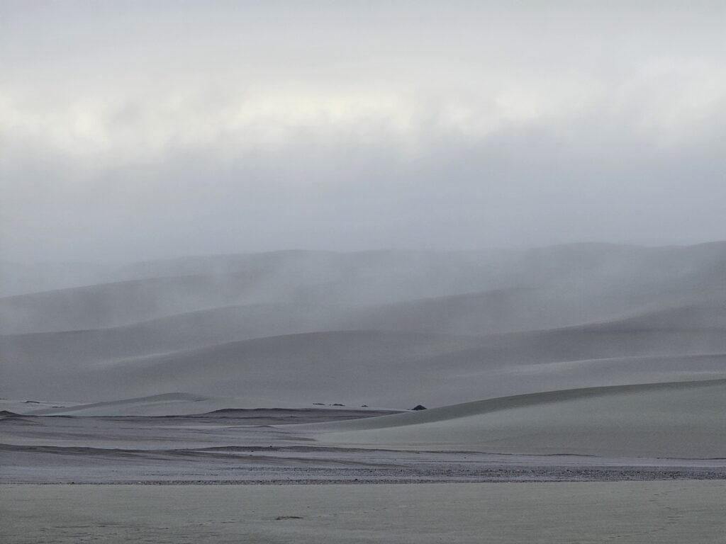
    Whilst dinner was being prepared, we set up the tents and walked up the dune behind our camp to a spectacular view. During the night there was a tiny bit of rain, and the picture below was taken at sunrise the next morning.

    Skeleton Coast 2025 #1: Introduction

    Skeleton Coast 2025 #2: Getting there

    Skeleton Coast 2025 #3: Swakopmund – old German charm

    Skeleton Coast 2025 #4: Through the mist to somewhere north of Terrace Bay

    Skeleton Coast 2025 #5: Up towards Angra Fria

    Skeleton Coast 2025 #6: Across the dune belt and into Hartmansvallei

    Skeleton Coast 2025 #7: Down to Purros and Sesfontein

  • Skeleton Coast 2025 #1: Introduction

    Skeleton Coast 2025 #1: Introduction

    This entry is part 1 of 4 in the series Skeleton Coast 2025

    The Namibian Skeleton Coast is a destination that has an allure to most travellers and an affinity to bucket lists. Even non-travellers will likely be intrigued by the name alone; but seasoned travellers are likely to be aware of the harsh and challenging, yet beautiful nature of the environment.

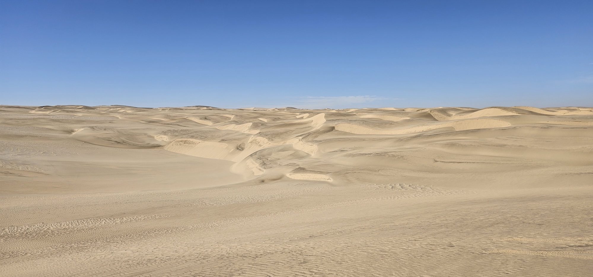
    On one side is the Atlantic Ocean – a stretch of water that is rocky, cunning and inhospitable. On the other, the Namib desert, where only the strongest survive; holding within it snakes, scorpions and other desert dwellers. Yes, even desert elephants and lions roam these parts.

    The desert is home to wreckages of those seeking its’ riches, but also of those that managed to escape the perils of the Atlantic; only to be faced with an equal foe.

    These days, modern vehicles makes it easier to explore this beauty of Africa, and so the question beckoned, why not?

    To start off with, we turned to google to find out what our options were. One can explore the skeleton coast on your own, but only up to a certain point. The Skeleton Coast National Park can be entered by anyone, but on your own you can only explore up to Terrace Bay. After Terrace Bay, you are entering concession areas and only guided tours are allowed.

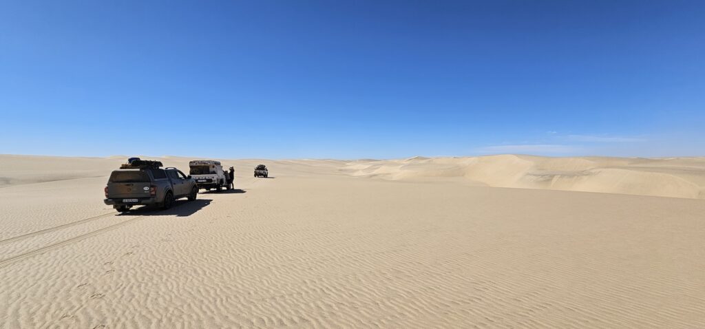
    We found a tour that lasts for eight days, throughout the Skeleton coast to the Kunene river, then back south through Kaokoland and Damaraland. The tour is a self-drive tour – you bring and drive your own 4×4 vehicle, and you are responsible for your own camping equipment.

    The tour includes breakfast and dinner, prepared for you by the guides as well as all the necessary concession arrangements. It also provides two-way radios to keep in contact with the rest of the group and through which the guides tell you about the various sites you’ll encounter. It came to approximately R15k per person (2025) – which is very reasonable, considering that you gain access to one of the remote gems planet earth has to offer.

    There are no refuelling options, and driving conditions will result in very heavy fuel consumption – so you need to make sure that you carry in the region of 240-300 liters of fuel, depending on your vehicle. That is a lot of fuel, and I can’t stress enough that you will spend a large amount of time in your vehicle; I hope you like the allure of the open road.

    I suppose you could rent a 4×4, with the necessary equipment – but you are going to struggle if you have never previously driven a 4×4 vehicle over rough terrain. You need to understand the basics of tyre pressures (when and why to deflate), high and low range (low range is necessary for this trip) and diff locks (optional, in my opinion). The guides are really helpful, but this is not a training course – they are not set up to teach you from scratch.

    Having meals prepared might sound like glamping (and it is – the meals are fabulous), but bear in mind that one way or another you will still sleep in a tent, and spend large parts of your day in a car. Again, if this sounds completely foreign then know that it will be a bit tough on you; it is not a hotel and you cannot check-out halfway through if you decide that roughing it isn’t for you.

    But, if you are (fairly) used to camping, and you have a 4×4 vehicle in good, working condition, and you understand the basics of 4×4 driving, then this is an adventure that you will likely remember for the rest of your life. Note that the 4×4 must be something with low range; and you should definitely not have low-profile tyres. You are going to deflate to 1 bar and possibly even lower, so a low profile tyre will be driving on the rim and get damaged and you’ll be stuck. Actually – you won’t, because it is unlikely that you will be allowed to continue.

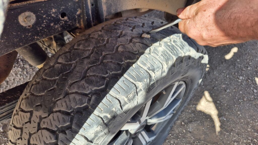
    If you don’t drive your car on dirt roads because you’re afraid of paint chips or other damage, then you need to know that your 4×4 is going to do what it was made for on this trip. It will work hard, through rough terrain and you may lose a tyre or two. An all-terrain tyre that has strong off-road capabilities is recommended and in my opinion, tyres should be in a good condition (50% or more life left). I used a set of General Grabber AT3’s, and they were prefect for the job.

    The itinerary (in a nutshell) starts at Swakopmund. From there we travel northward to the entrance of the Skeleton Coast national park. Then you will follow the coastline (broadly speaking) northward to the Kunene river mouth and views of Angola on the other side. After that, you turn east and cross the dune belt that runs along the coastline. You are now in Kaokoland and from there you will travel roughly South until Sesfontein in the Damaraland region.

    The rest of this post is divided into the various parts of the trip and what you will experience on each section. If you are going to do the tour and you would like for it to be a surprise, then you should probably not read through the details. But personally, I think no matter how much you know, reading about it is much different to experiencing it – you have to get out there.

    We booked through a tour operator, but the company is Skeleton Coast Tours and the link will take you directly to their website – speak to Hein.

    Our guide has his own tour that goes west to east through the southern parts of Namibia – if you’re interested in such a tour contact Luciano of Endless Sands Expeditions (but note again that is a different tour, NOT the one dealt with in this series).

    Skeleton Coast 2025 #1: Introduction

    Skeleton Coast 2025 #2: Getting there

    Skeleton Coast 2025 #3: Swakopmund – old German charm

    Skeleton Coast 2025 #4: Through the mist to somewhere north of Terrace Bay

    Skeleton Coast 2025 #5: Up towards Angra Fria

    Skeleton Coast 2025 #6: Across the dune belt and into Hartmansvallei

    Skeleton Coast 2025 #7: Down to Purros and Sesfontein